


Colorado’s wildfire risk map was so inaccurate that state officials just about ignored it — for many years. The map was outdated, especially in western Colorado, where 3+ million acres of forest was covered in beetle-killed pines.
Carolina Manriquez, a lead forester with the state’s forest service, said they were supposed to use the state risk map, but they knew it was not accurate and therefore couldn’t rely on it. As the E&E News recently reported, an infusion of $480,000 in state funds resulted in a new Colorado map with updates including pine beetle damage and densely populated mountain towns.

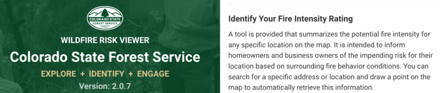

Including 2017 and 2020, when annual wildfires burned more than 10 million acres, the last decade has marked some of the worst fire seasons in history. The risk is compounded by both climate change and growing wildland/urban interface areas, particularly in the West. Some states — including Colorado, Oregon, Utah, and Texas — have moved toward ensuring their fire risk information and maps are updated and more accurate, displaying areas of highest risk and most in need of prevention and mitigation.


“There is a slowly growing…


